
Mille-Îles River flows on the north bound of Laval for 42 kilometers, from Saint-Eustache to Lachenaie, where it joins the Prairie River. It is quite a shallow river as the average depth is 1,5 meters (1). Incidentally, the flow remains quite slow as well. It oscillates between a maximum rate of 357 cubic meters per second in August (2) to almost stillness during drought periods. These shallow waters allow light to penetrate down to the bottom almost everywhere in the river, which is why aquatic plant communities are found in 53% of the river area (3).
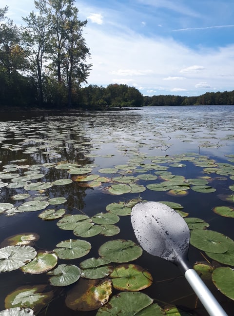
Water lilies in the achipelago of Sainte-Rose
Due to the exceptional biodiversity of this river ecosystem, a wildlife refuge was created in 1998 (4). This protected area of 26 hectares (in 2020) is mostly located in the Sainte-Rose archipelago.
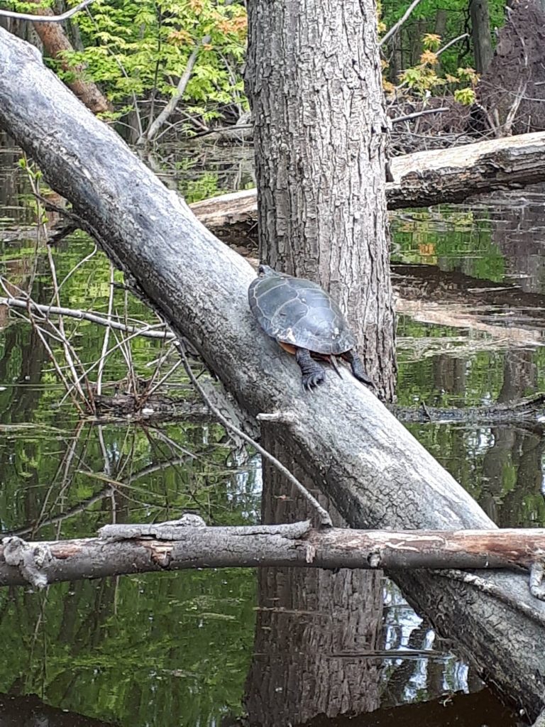
Painted turtle
The organization Sauvons nos trois grandes îles advocates for the protection and conservation of Saint-François archipelago (east of the river) which includes Île aux Vaches, Île Saint-Pierre and Île Saint-Joseph. This archipelago covers 197 hectares. The islands are of great conservation interest because they are an important ecological corridor between the North-Bound and Laval (5).
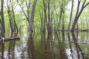
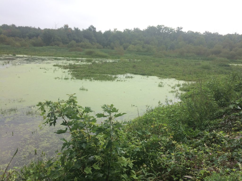
In the spring, when snow melts, the water level rises and floods many areas to the north of the Sainte-Rose and Mille-Îles boulevards. When the water retreats, it leaves behind wetlands such as marshes and swamps which are nesting, hiding, feeding and breeding habitats for a diversity of plants and wildlife.
Ducks, woodpeckers and birds of prey share these nutrient rich waters with turtles, bass and muskellunge. This biodiversity oasis is very much appreciated by birders, canoers, fishermen and wildlife observers.
Due to its shallow and slow waters as well as its many islands, Mille-Îles River is ideal for boaters and other watercraft users. It is however not used by large or commercial ships for the depths are too shallow and because of the rapids near the Auteuil neighborhood and the Grand-Moulin dam located at the estuary of Deux-Montagnes lake.
.jpg)
Flooded swamp, Mattawa bank
Nearshore marsh, Laval-Ouest
Nearshore marsh, Auteuil
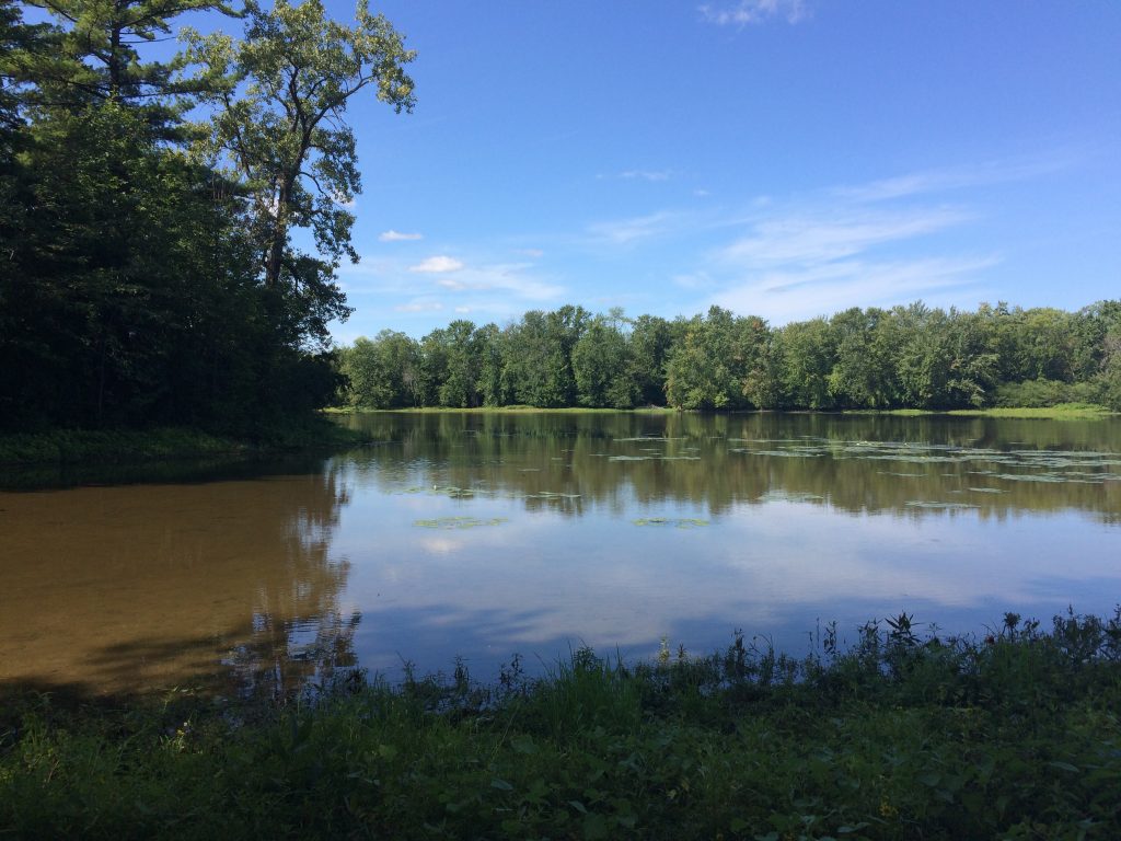
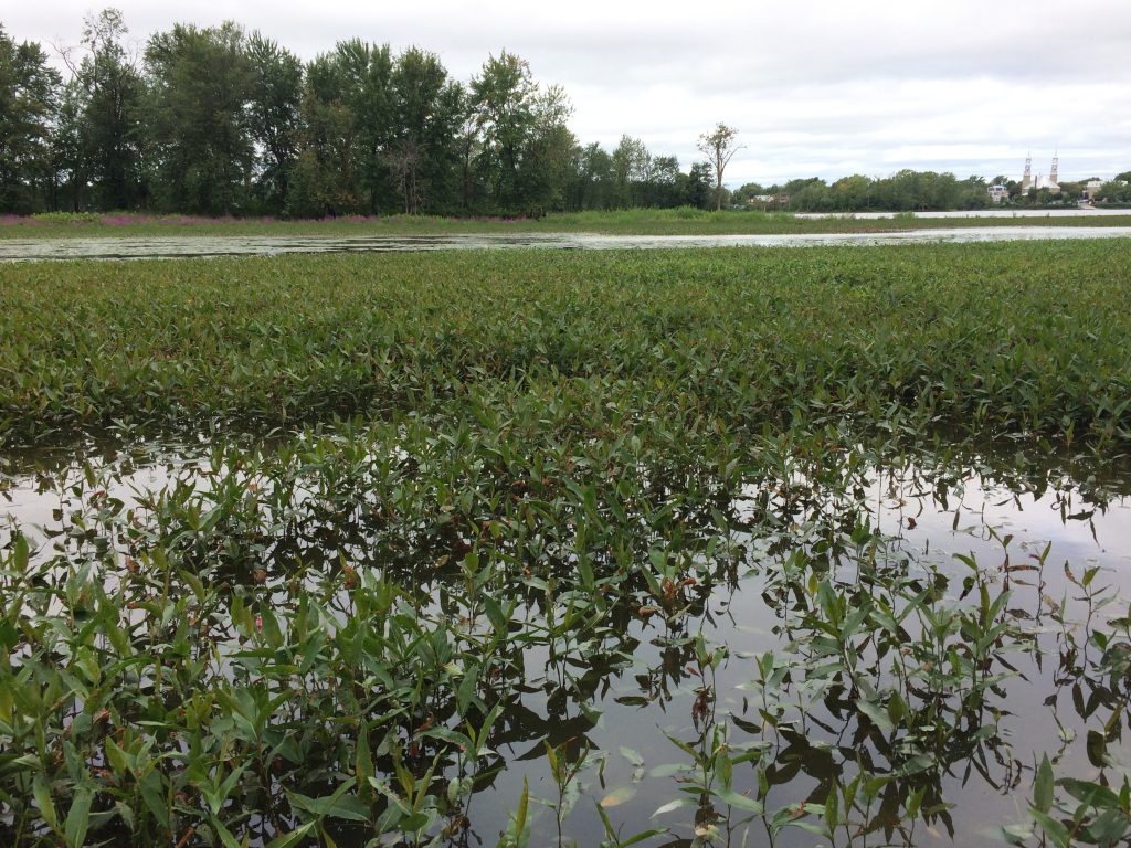
View from Saint-Joseph island
Sources (in French)
1Cadre de référence administratif du Parc de la rivière des Mille-Îles
4Parc de la Rivière-des-Mille-Îles
5Sauvons nos trois grandes îles de la rivière des Mille Îles